

Minding Ag's Business
AcreValue Does More than Map Land Sales, Land Analytics
In my years of covering markets and farm business topics for DTN, it's become clear to me that our readers -- who are primarily farmers, ranchers, landowners and agribusiness professionals -- want to know what's happening to farmland values. The connection to the land is not only part of their heritage but also a component of their financial well-being. They're invested.
While trends are interesting, actual sales and transaction information draw keen interest. To provide more localized, market-oriented content to our readers, DTN has teamed up with AcreValue, a farmland analytics platform. I'll be producing several articles over the upcoming months driven by AcreValue's data.
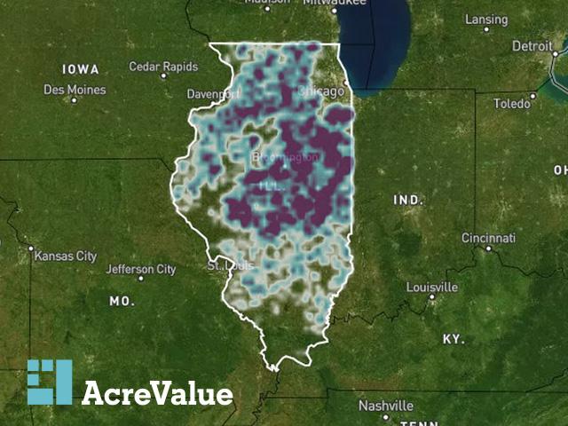
AcreValue pulls data from more than 40 sources into a searchable, geographic format, enabling users to find detailed data on individual parcels, including sales records, soil maps, growing degree days, proximity to utilities and much more.
"It's a pretty extensive undertaking to bring all this together," AcreValue CEO Joshua Woodard told DTN.
P[L1] D[0x0] M[300x250] OOP[F] ADUNIT[] T[]
While all the data that goes into the AcreValue platform is publicly available, most of it isn't easily searchable. Finding the records of who owns a parcel you're interested in would likely take a trip to that county's courthouse or web portal. Finding comparable sales may require a visit with a local real estate broker.
"AcreValue lets people essentially sift through all the data fairly effortlessly to identify the types of properties that they're interested in," he said. "Once you're able to identify the parcels you're interested in, you can basically dial in what the true value of the land is."
The platform's Market Explorer feature also aggregates land sales by state, county or crop district to generate an average price. The user can customize conditions like the soil productivity index, percent tillable acres, acreage and more.
Woodard was an agribusiness and finance professor before starting the custom data service firm Ag-Analytics. Ag-Analytics did a lot of work with profit mapping and yield analytics before purchasing the base software of AcreValue from Corteva in 2021. It's been adding new data sources and functions to the program ever since.
People tend to think about and assess farmland emotionally, instead of logically, Woodard said.
"We all have a sense of the pulse, but AcreValue helps bring together the hard-core analytics to back up those feelings," he said. "All of these different things, like soil and energy infrastructure, impact the value of the land. With the cost of capital these days, people can't afford to just put their finger in the wind and get by without really drilling down into the value of that land."
You can visit the AcreValue website at acrevalue.com to start a free trial.
Katie Dehlinger can be reached at katie.dehlinger@dtn.com
Follow her on social platform X @KatieD_DTN
(c) Copyright 2024 DTN, LLC. All rights reserved.