

Ag Weather Forum
Needed Rain, Some Delays to Spring Planting Possible This Week
Yet another in a long line of spring storm systems is moving through the country this week. Technically, it is more than one, and the drawn-out nature to the systems is bringing a lot of different weather conditions to the country this week.
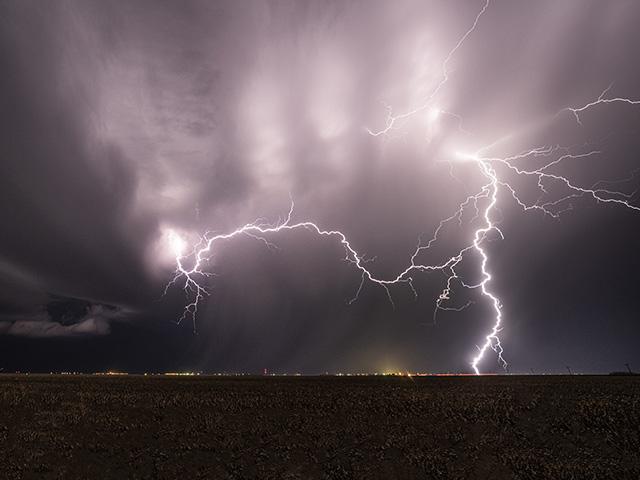
The first part of the storm is the strongest and is able to tap into some good moisture from the Gulf of Mexico and warmth underneath an upper-level ridge to produce widespread showers and thunderstorms across the Corn Belt through Wednesday, April 17. Some of those storms have already been severe in the Central Plains on Monday and will likely continue that threat for large hail, damaging winds and some tornadoes as it moves through Iowa, Illinois and Missouri on Tuesday, and then through Indiana, Ohio and southern Michigan on Wednesday.
But the actual cold front to this system is building in Canada and that one will start to move into the Northern Plains on Wednesday and then through the rest of the country for the end of the week and weekend. This front may not have heavy rain as it moves through the north, but as it moves through the Southern Plains through the Southeast, rainfall will pick up again.
Total rainfall from both portions of the storm has been and will be on the order of 1 to 2 inches in the Upper Midwest and 1 to 3 inches across the Southern Plains and MidSouth. Other pockets of rainfall over an inch will be possible in the Central Plains, Great Lakes and Southeast. Rainfall in the Upper Midwest will generally be helpful as soil moisture deficits are still large in a lot of these areas.
P[L1] D[0x0] M[300x250] OOP[F] ADUNIT[] T[]
Some areas in the eastern Midwest and Great Lakes are a bit too wet and, if realized, could lead to some delays in planting.
But it's really across the southern tier, which has had a consistent storm track since the winter, where soils have become a bit too wet and need a break. Areas in the Southeast may get that, but over portions of eastern Texas up into Tennessee, the heavy rain will cause further issues with localized ponding and flooding, and potentially cause some delays to spring planting.
Perhaps in anticipation of this, or the good weather over the winter and early spring, southern states have gotten out ahead of their usual planting pace. Arkansas, Louisiana, and Mississippi are all out ahead of their usual pace of soybean planting. And Arkansas is far outpacing it at 26% complete compared to the five-year average of 8%. Texas, which has been more hit-and-miss with the rainfall, is generally on pace with their planting of all crops listed on the USDA NASS weekly Crop Progress report which you can find here: https://www.dtnpf.com/….
In fact, it's hard to find many areas that are seeing any significant delays to planting outside of cotton in California, sugar beets in Idaho and Michigan, and oats in Ohio and Pennsylvania, all of which have had some wet stretches. Otherwise, the planting pace has gone on schedule or slightly ahead. With the wet weather ahead though, some of the areas that are on pace could see their progress slip and those that are behind could fall further behind. But, so far, planting season 2024 is off to a good start.
After the system this week, a burst of cold will move through the country as well. Temperatures below freezing could dissuade some producers on fieldwork for a little bit and frosts could damage a portion of the wheat crop in the southwestern Plains. Crop conditions have been slipping there recently due to dry conditions.
The active pattern may continue next week, though models are unsure. If it does, it would likely be a couple of smaller disturbances rather than bigger systems and something that could avoid some of the wetter areas of the country, making any impact more localized.
What the weather looks like for the heart of the season is a little more of a concern as low ocean temperatures in the Pacific Ocean, indicative of La Nina, are likely to cause hotter and drier conditions for the summer.
To find more weather conditions and your local forecast from DTN, head over to https://www.dtnpf.com/…
John Baranick can be reached at john.baranick@dtn.com
(c) Copyright 2024 DTN, LLC. All rights reserved.